Winter Hiking North and South Kinsman Mountains - NH 48 4,000 Footers
/Winter Hiking North Kinsman Mountain (4,293') and South Kinsman Mountain (4,358')
HIKE STATISTICS
Total Distance: 10.0 miles
Elevation Gain: 3,655 feet
Hiking Time: 8 hours, 30 minutes
Difficulty: Moderate
Curious to learn more about these peaks during the summer time when there is no snow? Click here for North Kinsman and click here for South Kinsman!

HIKE DATE: 02/22/2019
Description: There are two common routes to hike the Kinsmans: from the east taking the Fishin’ Jimmy Trail to make an optional loop or from the west taking the Mount Kinsman Trail as an in and out. For this winter hike, we opted to take the trail less traveled by ascending via the Mount Kinsman Trail because it makes for a more leisurely hike. From the summits of both peaks, you can enjoy excellent views of Franconia Ridge.
Trails Used: Ascend via Mount Kinsman Trail to Kinsman Ridge Trail over the summit of North Kinsman. Continue on Kinsman Ridge Trail to South Kinsman. Descend by turning around and going back the same way you came.
Trail Summary: We chose to hike the Mount Kinsman Trail to the summits since the Fishin’ Jimmy Trail has a reputation as a brutal route, with lots of ups and downs and steep sections. The Mount Kinsman Trail allowed us a much more leisurely and enjoyable approach. This route is less common in the winter, so you may find yourself having to break trail if it has snowed recently (this was the case for us). The trailhead parking lot is off of NH 116; it is not always going to be plowed, so a 4WD vehicle is recommended. When we went, there was a decent amount of snow in the lot. Since Adam has a Jeep, this wasn’t an issue for us. But for smaller cars, it may pose a challenge depending on the conditions. For a winter hike, this is a great route. You are protected most of the way, but once you get to Kinsman Ridge Trail you’ll be much more exposed to the elements, so proper gear is recommended. We wore our snowshoes the entire time as there was fresh snow (snowshoes are something you should always carry with you in winter). The Kinsman Ridge Trail has a few steep sections that require care, but nothing too crazy. There were a lot of snow drifts on the Ridge due to the wind, so that is one thing that you will most likely encounter. The wind can be very fierce and with wind chills, it can get very cold very quick. Always wear extra layers and face protection!
Although the elevation gain is higher from this side, the Mount Kinsman Trail climbs moderately the entire duration (3.7 miles) and is much gentler than the approach from the east. The trail starts out pretty flat, making its way through a nice forest. The lower portion of this trail is old logging roads, so the terrain is never anything crazy. After 0.6 miles, you’ll come across an old sugarhouse on the side of the trail, which has an ominous feel to it. One note of caution: this trail has been rerouted several times, so sometimes route finding can be somewhat challenging. There are lots of small signs and blocked off old trails to watch for. After another 0.9 miles, you’ll come to a brook crossing which isn’t too difficult. The trail continues to climb moderately, and crosses another brook in an additional 0.6 miles. Here, there is a small signed path that leads down to Kinsman Flume, which is a cool pit stop. After this path, the trail continues for a very short bit before coming to the junction where you can take a spur path to Bald Peak. It is 0.2 miles one way and ascends easily to a lookout that offers decent views.
After this junction, it’s 1.6 miles until the junction with the Kinsman Ridge Trail. The trail continues to climb at moderate grades with good footing, though there is a section or two that could be considered a bit steeper with some tougher footing. After climbing steadily, you’ll finally reach the junction. At this point, you’ve gained about 2,800 feet of elevation. At the junction, take a right and you’ll be at the summit of North Kinsman in 0.4 miles and about 450 feet elevation gain. This portion of the trail is very rough as it ascends steeply. The summit of North Kinsman offers nice views from the outlook.

There is A LOT of snow in February in the White Mountains!
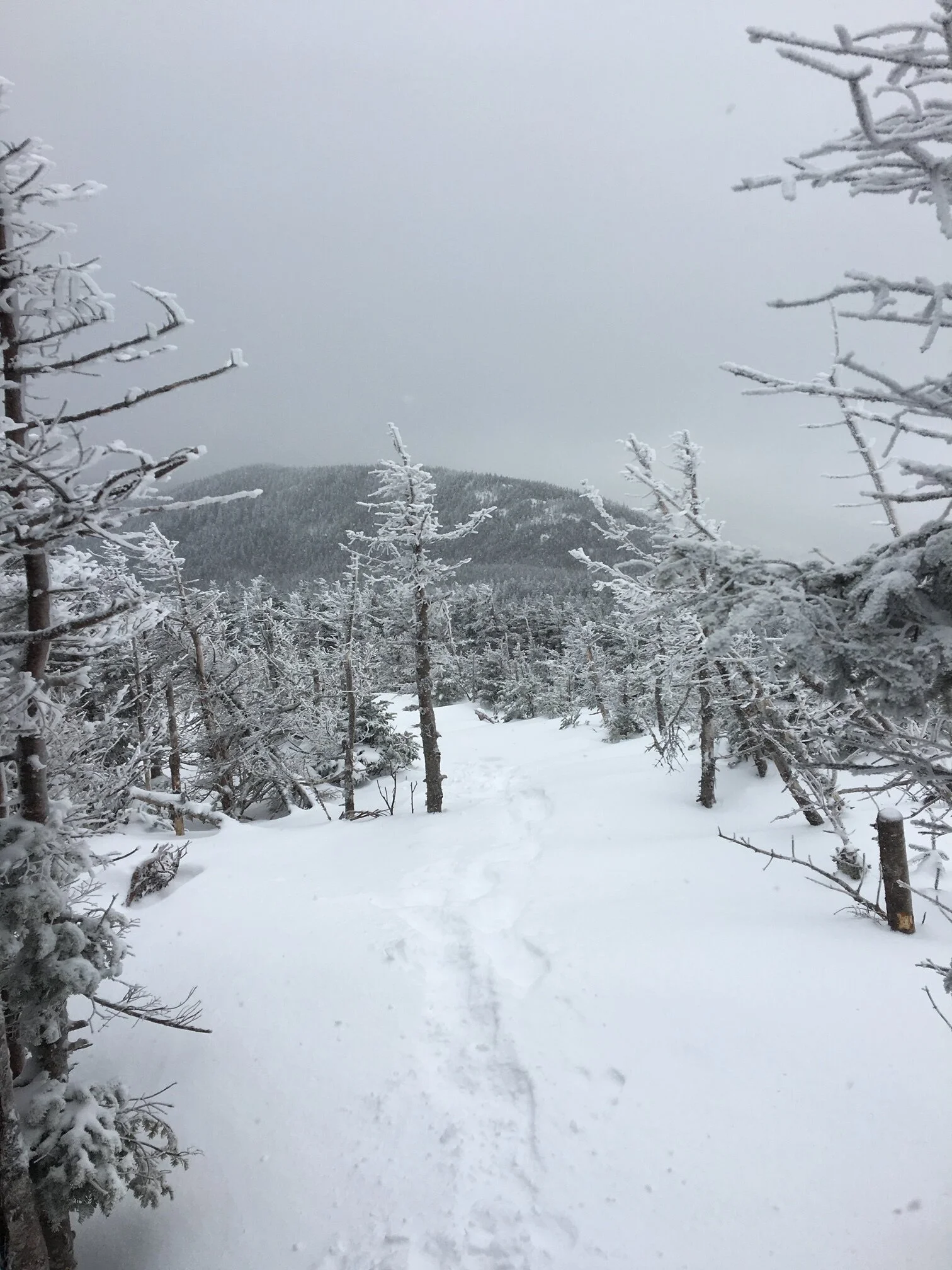
An open area along the trail with some unbroken snow
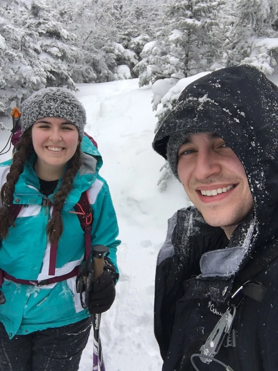
Enjoying our snowy hike

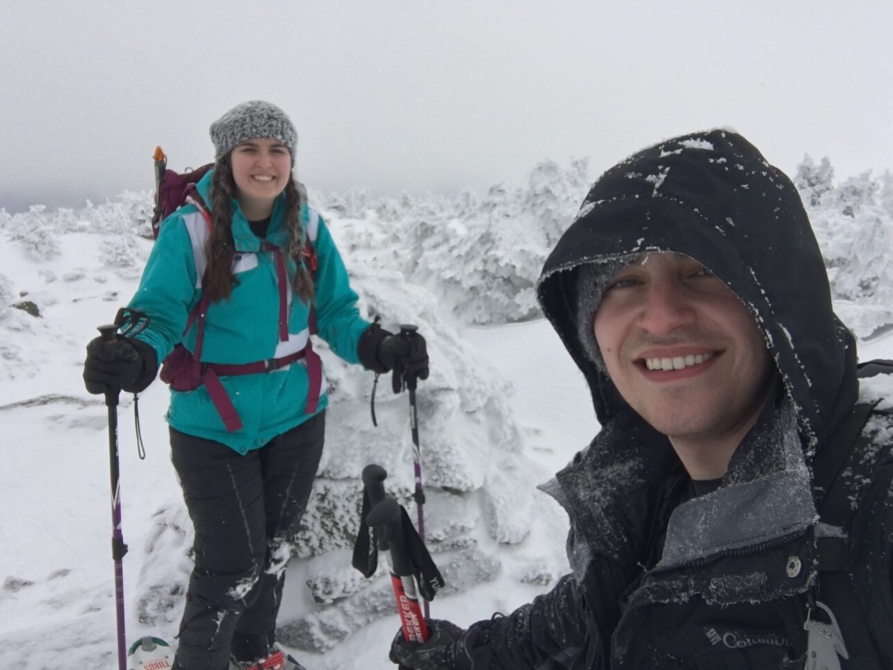
Enjoying some views of Franconia Ridge while the clouds are blowing out

Looking towards South Kinsman from a viewpoint along the Kinsman Ridge Trail
After a nice break, continue along the Kinsman Ridge Trail for another 0.9 miles and you’ll reach the summit of South Kinsman. Coming off of North Kinsman, the trail descends steadily into the col and climbs moderately up to the summit of South Kinsman. Along the way, there are several fine views that you can see through the scrub or by going down spur paths. The summit of South Kinsman is bare and open, offering fantastic views. Unfortunately for us, it was completely in the clouds when we were here. To descend, go all the way back following the same route you used to ascend. The descent from North Kinsman back to the junction is steep, so use caution. The descent down the Mt. Kinsman Trail is very moderate and should allow for a quick descent. It was a great day for Winter 48 numbers 4 and 5 for us!

No views by the time we got to the summit of South Kinsman

Winter Wonderland in the scrub surrounding South Kinsman
Quick selfie with the summit cairn on South Kinsman